

Services
Our SERVICES
Innovative Technology Services Tailored for Your Business
CORE SERVICES
Outsourcing & Staff Augmentation
Boost Capacity, Fill Skill Gaps & Deliver Projects with Confidence
Need to scale your utility team fast, without compromising on quality? Our outsourcing and staff augmentation services help utility providers enhance their in-house capabilities with proven talent, whether for a specific project or ongoing support.
From individual experts to complete high-performance project teams, we provide on-demand staffing solutions tailored to your technical, engineering, and digital transformation needs ensuring consistent delivery, even in high-pressure environments.

What Our Services Include
- Individual Contributors & Specialists
- Tap into utility-experienced professionals in GIS, CAD, engineering, IT and data management.
- Team Leasing
- Quickly assemble dedicated, ready-to-go teams for short- or long-term utility projects—without the cost or complexity of internal hiring.
- Project-Based Outsourcing
- We manage full project execution for you—from planning and resourcing through delivery and QA.
How Utilities Use Our Services
GIS, CAD & Data Support
Offload GIS digitization, CAD drafting, and data cleanup tasks to skilled professionals who understand utility networks and regulatory requirements.
Digital Transformation & IT Projects
Add skilled developers, analysts, and IT specialists to accelerate your projects, initiatives or system integrations.
Engineering & Field Services Support
Access structural engineers, asset inspectors, or project coordinators as-needed—especially during peak workloads, audits, or infrastructure upgrades.
End-to-End Project Delivery
Let us manage full project lifecycles—from resource planning to execution and delivery—so your core team can focus on strategic priorities.
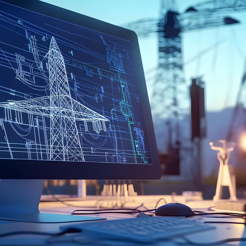
GIS & CAD Services
Expert-Led Geospatial Services to Empower Utility Networks
Modern utilities need more than just maps they need spatial intelligence they can act on. Our GIS and CAD services help utility providers visualize infrastructure, manage assets, and make data-driven decisions with confidence. Whether you’re building new systems or modernizing legacy data, we deliver hands-on support to ensure every layer, line, and location works for your operation.
What Our Services Include
- GIS implementation & setup
- CAD-to-GIS data conversion and integration
- Utility network modeling (electric, water, gas, fiber)
- Mobile GIS for field data collection
- System integration (e.g., SCADA, CMMS, ERP)
- Ongoing GIS support, staff training & consulting
- Migration from legacy systems to modern platforms (ArcGIS, QGIS, etc.)
How Utilities Use Our Services
Real-Time Asset Mapping
Visualize your entire utility network—from substations and transformers to pipelines and valves—with geospatial accuracy. Know exactly where assets are, their condition, and how they connect.
Planning & Permitting Simplified
Accelerate infrastructure planning with zoning, parcel, and environmental layers at your fingertips. GIS tools make it easy to assess impact, plan routes, and prepare for permitting with confidence.
Field Data Collection & Mobile Access
Empower field crews with mobile GIS apps that enable real-time updates, offline data access, and digital reporting—reducing paperwork and ensuring consistency between the field and office.
CAD-GIS Integration for Engineers
Bridge the gap between GIS and CAD with workflows that allow design and spatial data to flow together. Import engineering drawings, update utility schematics, and eliminate data silos.
Digital Twin
A Real-Time, Data-Driven Replica of Your Utility Infrastructure
Imagine having a virtual, real-time version of your utility assets accessible from anywhere, always up to date, and built for better decision-making. Our Digital Twin service helps utilities create dynamic, data-rich models of their physical infrastructure, enabling smarter operations, predictive maintenance, and faster response.
We combine spatial data, sensor input, and real-time operational metrics to build digital twins of substations, transmission networks, water treatment facilities, pipeline systems, and more. Whether you’re improving reliability or preparing for the grid of the future, a digital twin makes it possible.

What Our Services Include
3D Utility Network Models
High-accuracy visual models built from LiDAR, photogrammetry, GIS, and CAD data.
Real-Time Data Integration
Pull live data from IoT sensors, SCADA systems, meters, or environmental monitors to create an active operational view.
Interactive Dashboards & Interfaces
View network performance, asset condition, outages, and alerts in a centralized, intuitive platform.
How Utilities Use Our Services
Substation & Plant Digital Twins
Visualize the exact layout and condition of assets, monitor real-time performance, and simulate outages or system upgrades.
Grid & Pipeline Monitoring
Track network health, identify problem areas, and use simulations to test different maintenance or upgrade strategies.
Emergency Response Planning
Use digital twins to simulate storm impacts, identify critical asset risks, and plan resource deployment in advance.
Our Process
Data Collection & Mapping
We gather 3D scans, GIS layers, and CAD files, or capture new data using drone/LiDAR.
Data Collection & Mapping
We gather 3D scans, GIS layers, and CAD files, or capture new data using drone/LiDAR.
Modeling & Integration
We create the digital twin, then connect your live systems (SCADA, sensors, AMI, etc.).
Interface Design & Delivery
We build dashboards and controls for your team, tailored to your operations.
Support & Optimization
We offer continuous support to expand or enhance your twin as your needs grow.
3D Scanning & Data Processing
Bring your utility infrastructure into the digital age with cutting-edge 3D scanning and data processing services. We help utility providers visualize, manage, and optimize their physical assets with unmatched clarity boosting efficiency, safety, and confidence at every stage of operations.
Whether you’re managing power lines, water networks, substations, or treatment facilities, our services deliver precise digital replicas of your assets that empower smarter planning, faster decisions, and seamless collaboration.
Asset Documentation & Digital Twins
Condition Assessment & Maintenance Planning
Subsurface & Overhead Utility Mapping
Combine 3D scanning with other data layers to map above- and below-ground assets. Enhance planning accuracy for excavation, repairs, and utility relocations, reducing risk and rework.
Design & Retrofit Support
Give your teams accurate, up-to-date data for design validation, retrofits, and expansions. Integrate with CAD/BIM workflows to streamline planning and reduce costly on-site surprises.
Regulatory Compliance & Reporting
Stay audit-ready with clear digital records. 3D scanning supports documentation for permitting, safety audits, and environmental impact assessments—all with greater transparency.
Drone & Aerial Inspection
Faster, Safer, and Smarter Inspections From the Sky Down
Maintaining utility infrastructure is critical but traditional inspection methods can be slow, hazardous, and expensive. Our drone and aerial inspection services provide a smarter alternative.
We deliver high-resolution aerial data, thermal imaging, and LiDAR capture to support the inspection and monitoring of power lines, substations, pipelines, treatment plants, and remote facilities. Our utility-focused team helps you detect issues earlier, reduce risks, and make data-backed decisions without setting foot on a ladder or sending crews into dangerous environments. We are using AI-enhanced software to prioritize repairs of anomalies in the grid.

What Our Services Include
High-Resolution Visual Inspections
Capture detailed imagery of infrastructure and terrain for documentation, fault detection, and change monitoring.
Thermal Imaging & Infrared Analysis
Identify overheating components, leaks, or insulation failures in substations, transformers, and pipelines.
LiDAR & 3D Terrain Mapping
Generate accurate surface models, vegetation profiles, and structural measurements—ideal for line-of-sight analysis and encroachment detection.
Automated Reporting & Analytics
Receive clear, actionable inspection reports with geo-tagged imagery, condition ratings, and recommendations.
How Utilities Use Our Services
Power Line & Transmission Tower Inspections
Inspect conductors, insulators, and hardware components at scale—no shutdowns required. Quickly identify damaged or degraded assets.
Pipeline & Utility Corridor Monitoring
Detect leaks, corrosion, and third-party interference across long distances. Stay proactive in high-risk or regulated areas.
Substation & Facility Assessments
Use drones to capture site-wide overviews and pinpoint mechanical or thermal anomalies without entering hazardous zones.
Vegetation Management & Encroachment Detection
Monitor tree growth and clearances near overhead lines using aerial LiDAR or RGB analysis—ideal for outage prevention and compliance.

Technology Consulting
Strategic Guidance to Modernize, Streamline & Future-Proof Your Utility
In today’s rapidly evolving landscape, utilities are under increasing pressure to modernize infrastructure, adopt digital tools, and meet regulatory and customer demands all while staying cost-effective. Our technology consulting services help utility providers navigate this complexity with clarity, confidence, and impact.
We partner with electric, water, gas, and telecom utilities to design and implement technology strategies that drive performance, improve reliability, and support long-term growth.
What Our Services Include
- Digital Transformation Strategy
- Technology Assessments & Roadmapping
- Legacy System Modernization
- Smart Grid, AMI & IoT Planning
- Geospatial & Data System Alignment (GIS, SCADA, ERP, CMMS)
- Staff Enablement, Process Optimization & Change Management
- Digital Transformation Strategy
- Technology Assessments & Roadmapping
- Legacy System Modernization
- Smart Grid, AMI & IoT Planning
- Geospatial & Data System Alignment (GIS, SCADA, ERP, CMMS)
- Staff Enablement, Process Optimization & Change Management
How Utilities Use Our Services
Legacy to Modern System Transitions
We help utilities migrate from outdated tools to integrated digital platforms—whether it’s GIS, asset management, SCADA or WMS.
Smart Technology Strategy
From AMI (Advanced Metering Infrastructure) to IoT sensors and grid monitoring, we help you explore, plan, and implement smart utility technologies.
Process & Workflow Optimization
Our consultants analyze your field and back-office processes to recommend tech solutions that reduce manual work, improve service reliability, and boost operational efficiency.
Data & System Integration Planning
We align your GIS, SCADA, ERP, and other platforms into a cohesive ecosystem—so your teams can make faster, better-informed decisions across the board.
Legacy to Modern System Transitions
We help utilities migrate from outdated tools to integrated digital platforms—whether it’s GIS, asset management, SCADA, or work order systems.
Smart Technology Strategy
From AMI (Advanced Metering Infrastructure) to IoT sensors and grid monitoring, we help you explore, plan, and implement smart utility technologies.
Process & Workflow Optimization
Our consultants analyze your field and back-office processes to recommend tech solutions that reduce manual work, improve service reliability, and boost operational efficiency.
Data & System Integration Planning
We align your GIS, SCADA, ERP, and other platforms into a cohesive ecosystem—so your teams can make faster, better-informed decisions across the board.