


Our network
One Network. Specialized Expertise.
The EnerConnect Group brings together specialized engineering companies, technology providers, and industry experts with deep capabilities across the utility sector.
Rather than relying on a single organization to solve every challenge, we connect complementary expertise across disciplines and technologies creating flexible delivery teams built around the specific needs of each client and project.
One relationship. Broader expertise. The right capabilities for every challenge.
Drone & Field Technologies
Utilizing advanced drone technology for detailed aerial mapping and inspections. Providing real-time insights to enhance decision-making and reduce field risks.
Consulting & Expert Teams
Built Around Specialized Expertise
Engineering Specialists
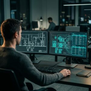
Specialized engineering and design organizations bringing deep domain expertise across utility infrastructure and asset information.
Technology Partners
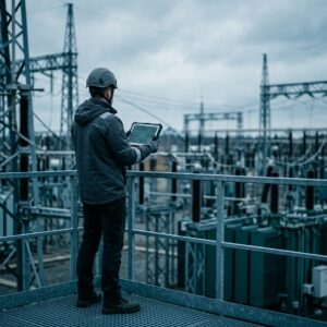
Innovative technology providers delivering specialized platforms, tools, and capabilities for the evolving needs of utilities.
Industry Experts

Experienced utility professionals and specialists providing strategic, technical, and project expertise when it matters most.
Capabilities Across Our Network
Solution 01
GIS, CAD & Engineering Data
Connecting Engineering and Spatial Data Across the Utility Lifecycle
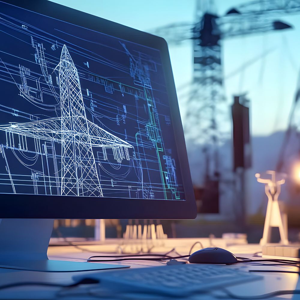
Modern utilities need more than maps and drawings they need trusted engineering and spatial data that can flow across systems, teams, and the entire asset lifecycle.
Through the EnerConnect Group, we bring together specialized GIS, CAD, and engineering data expertise to help utilities modernize legacy environments, improve data quality, connect engineering and operational information, and build scalable digital workflows.
From focused specialist support to complex data transformation initiatives, we provide the expertise and delivery capabilities needed to turn fragmented engineering information into reliable, connected asset data.
Core Capabilities
- GIS architecture, implementation & modernization
- CAD & engineering data management
- CAD-to-GIS integration and automated data workflows
- Utility network modeling and data management
- Legacy data migration and transformation
- Engineering and asset data integration
- Mobile and field data workflows
- GIS integration with enterprise and operational systems
- Data quality, governance & validation
- GIS, CAD and engineering workflow automation
- Specialist consulting & expert support
- GIS architecture, implementation & modernization
- CAD & engineering data management
- CAD-to-GIS integration and automated data workflows
- Utility network modeling and data management
- Legacy data migration and transformation
- Engineering and asset data integration
- Mobile and field data workflows
- GIS integration with enterprise and operational systems
- Data quality, governance & validation
- GIS, CAD and engineering workflow automation
- Specialist consulting & expert support
How Utilities Apply These Capabilities
Connected Asset & Network Information
Create a reliable spatial view of utility infrastructure by connecting network, asset, and engineering information across the organization. Improve visibility, data quality, and confidence in how assets are represented and managed.
Infrastructure Planning & Design
Bring spatial, engineering, environmental, and asset information together to support network planning, design, routing, and infrastructure development.
Field Data & Mobile Workflows
Connect field and office teams through digital workflows that improve data capture, validation, and access to trusted asset information — online or offline.
CAD–GIS & Engineering Integration
Bridge the gap between engineering design and geospatial systems by creating connected workflows between CAD, GIS, and asset information. Reduce manual handoffs, improve data consistency, and eliminate disconnected information silos.
Solution 02
BIM & Digital Twin
Connecting Engineering, Asset and Operational Information Across the Infrastructure Lifecycle
Modern utilities generate vast amounts of engineering and asset information throughout the lifecycle of their infrastructure from design and construction to operations, maintenance, and modernization. The challenge is not creating more data, but connecting it and making it accessible, reliable, and useful.
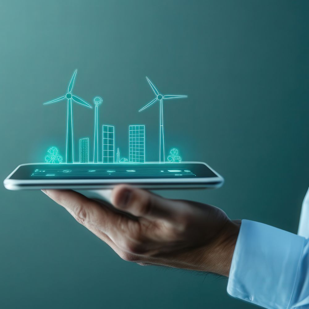
Through the EnerConnect Group, we bring together BIM, Digital Twin, engineering data, and integration expertise to help utilities create connected digital representations of their critical infrastructure.
From structured BIM environments and engineering information models to enterprise-scale Digital Twin ecosystems, we help connect engineering, GIS, asset management, document repositories, and operational systems creating a trusted digital foundation that evolves with the physical infrastructure.
Core Capabilities
BIM Strategy & Implementation
Establish scalable BIM frameworks, standards, information requirements, and workflows designed for complex utility infrastructure.
BIM Model & Engineering Data Management
Create, structure, validate, and manage engineering models and associated asset information across projects and the asset lifecycle.
Digital Twin Architecture
Design connected Digital Twin environments that bring together engineering, geospatial, asset, document, and operational information.
BIM–GIS Integration
Connect detailed engineering models with enterprise geospatial environments to bridge project, asset, and network information.
Enterprise System Integration
Integrate BIM and Digital Twin environments with GIS, EAM/ERP, document management, IoT, SCADA, and other enterprise systems where required.
Reality Capture & Model Creation
Use LiDAR, 3D scanning, photogrammetry, and existing engineering information to create or update digital representations of existing infrastructure.
BIM Strategy & Implementation
Establish scalable BIM frameworks, standards, information requirements, and workflows designed for complex utility infrastructure.
BIM Model & Engineering Data Management
Create, structure, validate, and manage engineering models and associated asset information across projects and the asset lifecycle.
Digital Twin Architecture
Design connected Digital Twin environments that bring together engineering, geospatial, asset, document, and operational information.
BIM–GIS Integration
Connect detailed engineering models with enterprise geospatial environments to bridge project, asset, and network information.
Enterprise System Integration
Integrate BIM and Digital Twin environments with GIS, EAM/ERP, document management, IoT, SCADA, and other enterprise systems where required.
Reality Capture & Model Creation
Use LiDAR, 3D scanning, photogrammetry, and existing engineering information to create or update digital representations of existing infrastructure.
How Utilities Apply These Capabilities
Substation & Facility Digital Twins
Create connected digital representations of substations, plants, and other complex facilities by bringing together BIM models, engineering documentation, asset information, spatial context, and operational data.
Engineering-to-Operations Handover
Transform project information into structured, reusable asset data, improving the transition from design and construction into operations and maintenance.
BIM–GIS Integration
Connect detailed facility and engineering information with enterprise GIS to provide a consistent view of assets across facilities, networks, and geographic environments.
Asset Information Modernization
Transform fragmented drawings, documents, models, and legacy engineering data into structured digital information that can support maintenance, planning, and future Digital Twin initiatives.
Connected Asset Ecosystems
Bring together engineering, asset management, geospatial, document, and operational systems to create a connected information environment rather than another isolated platform.
From Strategy to Connected Digital Infrastructure
Understand & Assess
Understand business objectives, existing engineering processes, information environments, systems, and Digital Twin maturity.
Define the Information Strategy
Establish requirements, standards, data structures, integration principles, and the target architecture.
Build & Connect
Create or enhance BIM and digital models while connecting engineering, GIS, asset, document, and operational information.
Integrate & Operationalize
Embed the Digital Twin environment into existing workflows and enterprise systems so information can be used throughout the organization.
Evolve & Scale
Extend the approach across additional assets, facilities, projects, and use cases as organizational maturity grows.
Solution 03
Reality Capture & 3D Scanning
Creating Accurate Digital Foundations for Utility Infrastructure
Accurate infrastructure data is the foundation of effective engineering, asset management, and digital transformation. Reality capture technologies enable utilities to create precise digital representations of existing assets and environments reducing uncertainty and improving the quality of information available across the asset lifecycle.
EnerConnect Group brings together 3D scanning, LiDAR, photogrammetry, spatial data processing, and engineering expertise to transform physical infrastructure into reliable digital information that can support design, documentation, analysis, and Digital Twin initiatives.
From individual substations and facilities to large infrastructure environments, we help utilities capture, process, structure, and integrate reality data into existing engineering and asset information workflows.
Core Capabilities
3D Laser Scanning & LiDAR
High-accuracy capture of existing infrastructure, facilities, and complex engineering environments to create reliable spatial records of physical assets.
Point Cloud Processing
Registration, cleaning, classification, and processing of point cloud data to create structured datasets ready for engineering, analysis, and visualization.
Scan-to-BIM & Scan-to-CAD
Transform reality capture data into accurate BIM models, CAD drawings, and engineering documentation supporting modernization and design activities.
Photogrammetry & Reality Modeling
Create detailed 3D representations of infrastructure and surrounding environments using terrestrial and aerial imagery.
As-Built Documentation
Develop accurate digital records of existing infrastructure to improve documentation quality and provide trusted information for future engineering work.
Data Integration
Connect reality capture outputs with BIM, CAD, GIS, Digital Twin, and asset information environments to extend their value beyond individual projects.
How Utilities Apply These Capabilities
Asset Documentation & Digital Records
Create accurate as-built representations of substations, facilities, and other critical infrastructure, providing engineering and operations teams with reliable digital records of existing conditions.
Design, Retrofit & Modernization
Give engineering teams accurate information about existing conditions before modifications begin. Integrate reality capture data with CAD and BIM workflows to support design validation, retrofits, expansions, and brownfield projects.
Infrastructure Mapping
Capture complex above-ground infrastructure and combine reality data with GIS, engineering, and other spatial information to improve planning, documentation, and coordination.
Asset Inspection & Change Detection
Compare reality capture datasets over time to identify physical changes, clearances, deformation, vegetation encroachment, and other conditions that may require further engineering assessment.
Digital Twin & Asset Information
Use accurate reality data as a foundation for BIM models, Digital Twins, GIS environments, and asset information initiatives — connecting the physical condition of infrastructure with its digital representation.
Solution 04
Drone & Field Technologies
Safer, Smarter Infrastructure Inspection and Data Capture
Utilities manage vast, complex infrastructure that requires continuous inspection, monitoring, and reliable field information. Traditional inspection methods can be time-consuming, costly, and often require personnel to access difficult or hazardous environments.
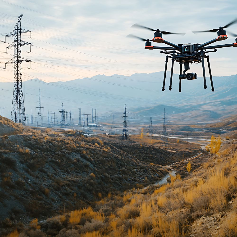
EnerConnect Group combines drone technology, aerial data capture, advanced sensors, and inspection expertise to help utilities collect high-quality information about critical infrastructure safely and efficiently.
From transmission corridors and substations to pipelines and complex facilities, we help transform field and aerial data into actionable information that supports inspection, maintenance planning, asset management, and engineering decisions.
Core Capabilities
High-Resolution Aerial Inspection
Capture detailed RGB imagery of utility assets and infrastructure to support visual inspection, documentation, condition assessment, and change monitoring.
Thermal & Infrared Inspection
Use thermal imaging to identify temperature anomalies that may indicate potential equipment issues and areas requiring further investigation.
Aerial LiDAR & Mapping
Capture accurate 3D information across utility corridors, facilities, and surrounding environments to support clearance analysis, vegetation management, engineering, and spatial documentation.
Automated Data Processing & Analytics
Process large volumes of imagery and inspection data using automated and AI-assisted workflows to identify, classify, and prioritize potential anomalies for further assessment.
Inspection Data & Reporting
Organize inspection results, geotagged imagery, observations, and asset information into structured outputs that can support maintenance and asset management workflows.
Specialized Field Technologies
Deploy complementary sensors and field technologies where required to capture specialized infrastructure data and support complex inspection programs.
How Utilities Apply These Capabilities
Transmission & Distribution Inspection
Inspect towers, poles, conductors, insulators, and other network components using aerial imagery, thermal data, and other sensors — improving visibility while reducing the need for manual access to difficult locations.
Substation & Facility Inspection
Capture visual, thermal, and spatial information across substations and facilities to support condition assessment, engineering documentation, maintenance planning, and safety.
Vegetation & Clearance Management
Use aerial imagery and LiDAR data to assess vegetation proximity, conductor clearances, and corridor conditions, helping utilities prioritize vegetation management and reduce network risk.
Pipeline & Utility Corridor Monitoring
Monitor large infrastructure corridors using aerial imagery, thermal sensors, and mapping technologies to identify changes, potential anomalies, encroachment, and areas requiring further investigation.
Storm & Emergency Assessment
Rapidly capture infrastructure conditions following storms, flooding, wildfires, or other major events to improve situational awareness and help prioritize field response.
Solution 05
AI & Intelligent Automation
Turning Utility Data and Engineering Knowledge Into Actionable Intelligence
Utilities generate enormous volumes of engineering, asset, operational, spatial, and field data. The opportunity is not simply to introduce AI, but to apply it where it can improve real processes, reduce manual effort, and help people make better decisions.
EnerConnect Group brings together utility industry knowledge, data expertise, and artificial intelligence capabilities to help organizations identify and implement practical AI use cases across engineering, asset management, operations, and infrastructure management.
From intelligent document processing and engineering automation to computer vision, predictive analytics, and AI assisted decision support, we focus on solutions that integrate with existing workflows and create measurable operational value.
Core Capabilities
Engineering & Document Intelligence
Use AI to extract, classify, structure, and validate information from engineering drawings, technical documents, specifications, reports, and other unstructured data.
AI-Powered Engineering Automation
Automate repetitive engineering and data workflows, accelerate information processing, and support engineers with intelligent tools designed around existing processes.
Computer Vision & Asset Inspection
Apply AI and computer vision to imagery, video, thermal data, and other inspection information to identify, classify, and prioritize potential asset anomalies.
Predictive Analytics & Asset Intelligence
Combine historical, operational, condition, and asset data to identify patterns, assess risk, and support more proactive maintenance and asset management decisions.
Generative AI & Knowledge Assistants
Create AI-powered assistants that help teams access and interact with engineering standards, technical documentation, asset information, procedures, and organizational knowledge.
AI Agents & Workflow Automation
Use intelligent agents and automation to coordinate multi-step processes, connect information across systems, and reduce manual effort in engineering and operational workflows.
AI Strategy & Use Case Development
Identify high-value AI opportunities, assess data and organizational readiness, define implementation roadmaps, and prioritize initiatives based on business value and feasibility.
How Utilities Apply These Capabilities
Engineering Information Automation
Extract and structure information from drawings, technical documents, models, and legacy records to reduce manual data entry and improve the quality of engineering and asset information.
Intelligent Asset Inspection
Analyze imagery and inspection data at scale to identify potential defects, anomalies, vegetation risks, or changes in asset condition — helping teams prioritize where human attention is needed most.
Asset Risk & Maintenance Intelligence
Analyze asset, condition, maintenance, and operational information to identify patterns and support risk-based inspection, maintenance planning, and investment decisions.
Engineering Knowledge Assistants
Give engineering and field teams faster access to technical standards, procedures, drawings, manuals, and organizational knowledge through secure AI-powered search and conversational interfaces.
Automated Data Quality & Validation
Use intelligent workflows to identify missing, inconsistent, or potentially incorrect information across engineering, GIS, asset, and project data — improving confidence in the information used across the organization.
Operational Decision Support
Bring together information from multiple sources and use AI-assisted analysis to help teams identify patterns, prioritize actions, and make faster, better-informed operational decisions.
Engineering Information Automation
Extract and structure information from drawings, technical documents, models, and legacy records to reduce manual data entry and improve the quality of engineering and asset information.
Intelligent Asset Inspection
Analyze imagery and inspection data at scale to identify potential defects, anomalies, vegetation risks, or changes in asset condition — helping teams prioritize where human attention is needed most.
Asset Risk & Maintenance Intelligence
Analyze asset, condition, maintenance, and operational information to identify patterns and support risk-based inspection, maintenance planning, and investment decisions.
Engineering Knowledge Assistants
Give engineering and field teams faster access to technical standards, procedures, drawings, manuals, and organizational knowledge through secure AI-powered search and conversational interfaces.
Automated Data Quality & Validation
Use intelligent workflows to identify missing, inconsistent, or potentially incorrect information across engineering, GIS, asset, and project data — improving confidence in the information used across the organization.
Operational Decision Support
Bring together information from multiple sources and use AI-assisted analysis to help teams identify patterns, prioritize actions, and make faster, better-informed operational decisions.
Solution 06
Consulting & Expert Teams
Utilities are transforming at an unprecedented pace, creating demand for new technologies, specialized expertise, and capabilities that may not always exist within internal teams.
EnerConnect Group combines strategic technology consulting with flexible access to experienced utility professionals, technical specialists, and dedicated delivery teams. We help organizations define the right direction, strengthen internal capabilities, and bring in the expertise needed to move complex initiatives from strategy to execution.
Whether the need is for strategic advisory, a specialized individual expert, an extended project team, or responsibility for a defined scope of work, we provide the right engagement model around each organization’s objectives.

Core Capabilities
Define technology strategies, transformation roadmaps, and investment priorities aligned with business objectives, operational requirements, and long-term utility needs.
Assess existing technology environments, identify modernization opportunities, and help define target architectures across engineering, GIS, asset management, data, and operational systems.
Analyze engineering, field, and business processes to reduce fragmentation, improve information flow, and identify opportunities for digitalization and automation.
Access experienced professionals with specialized expertise across GIS, CAD, BIM, Digital Twin, asset information, data, AI, engineering, and utility technologies.
Extend internal capabilities with dedicated multidisciplinary teams assembled around specific programs, technologies, or delivery requirements.
How Utilities Apply These Capabilities
Define a clear path from current-state challenges to a practical transformation roadmap — aligning technology, engineering processes, data, people, and organizational priorities.
Assess legacy environments and define modernization strategies across GIS, engineering systems, asset management, Digital Twin, data platforms, and emerging technologies.
Strengthen internal teams with experienced specialists for critical initiatives, skill gaps, peak workloads, or areas where highly specialized utility and technology knowledge is required.
Build focused, multidisciplinary teams around specific transformation initiatives or technical programs, providing the right combination of expertise without the complexity of building every capability internally.
Engage EnerConnect Group to coordinate and deliver defined initiatives from planning and resourcing through execution, quality assurance, and delivery.
Connected Through EnerConnect
Our network is designed to operate as more than a collection of individual capabilities. EnerConnect Group brings together the right expertise, coordinates collaboration across partners, and provides a unified approach to client engagement and delivery.
Whether a challenge requires a single specialist, a dedicated team, or multiple technology and engineering disciplines working together, we create the delivery structure around the required outcome.
Multiple capabilities. One coordinated approach.